


A brand new aviation technology was utilised by an IndiGo flight for the first time at the end of June. The new satellite navigation system, called GAGAN, was used to safely land the passenger jet in Udaipur, representing a critical point in the development of Indian innovation in navigation technology.

Innovative IndiGo
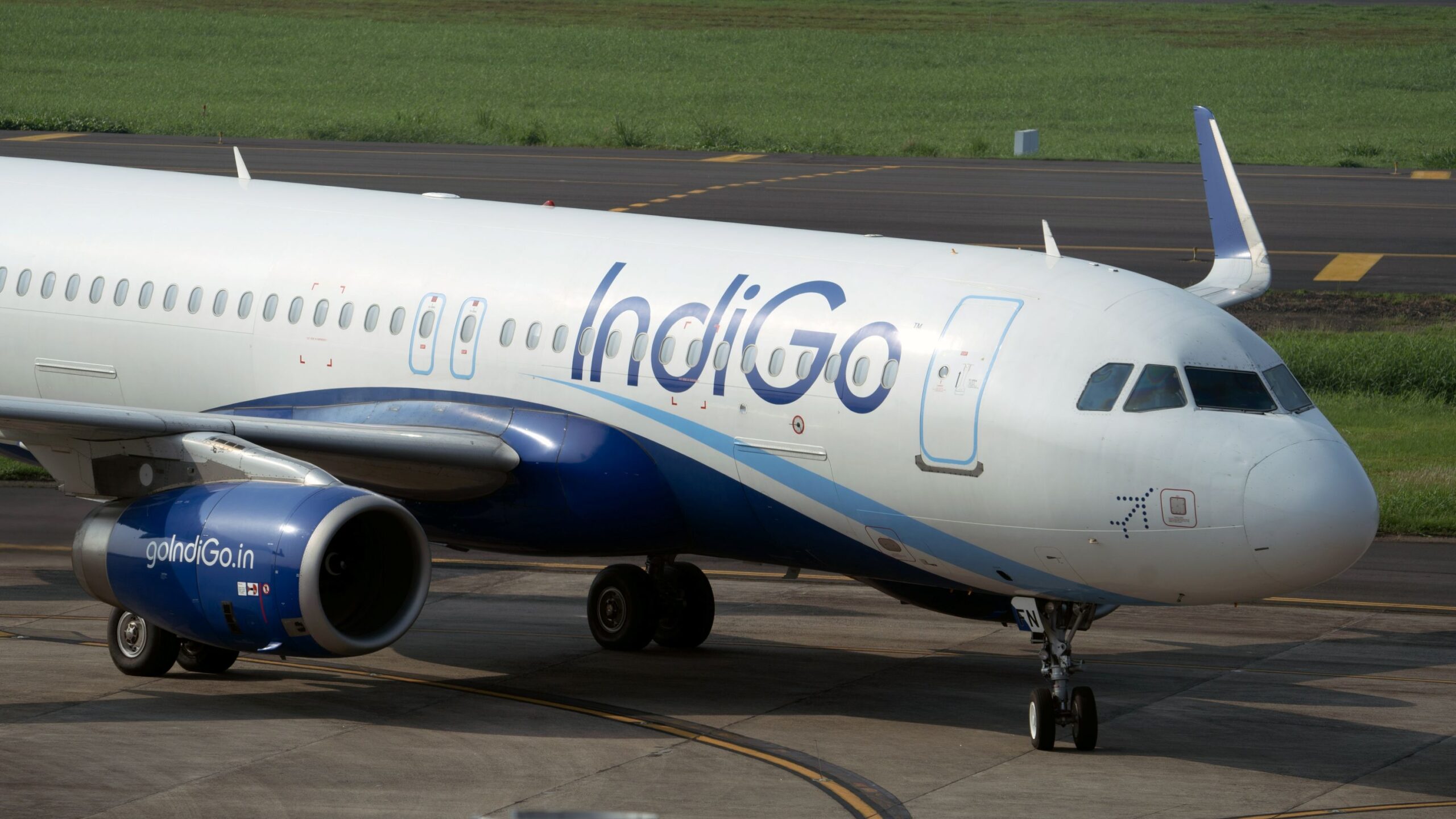
On June 27, it was reported that an IndiGo A320 became the first passenger jet to land using India’s new satellite navigation system, GAGAN, under the supervision of the Directorate General of Civil Aviation (DGCA). Previously, only smaller, slower aircraft powered by jet engine spun propellers called turboprop planes has used the system, which paved the way for this milestone. The A320 touched down at Maharana Pratap Airport (UDR) in Udaipur with the help of the new technology, which guides aircraft to the runway without the use of the standard ground-based equipment operating at most airports.
Built by the Indian Space Research Organisation (ISRO) in collaboration with the Airports Authority of India (AAI), GAGAN stands for GPS Aided GEO Augmented Navigation. Unlike most large airports around the world, the system does not use ground-based radio beams, and instead uses satellites located thousands of kilometres above India. It is designed to work with GPS systems to enhance their accuracy.
Because GPS signals are slowed down and bent by the electrically charged layer of the upper atmosphere as they approach Earth, GAGAN is constructed to sharpen and police signals to correct any mistakes before they reach the pilot. This is particularly important because GPS while these slight distortions and mistakes are common with all GPS signals, over India, these errors are unusually large and shift from minute to minute because the country sits beneath the equatorial ionisation anomaly.
New Tech in Real Time
The new technology operates around fifteen ground stations dotted across India, each of which located at a spot so precisely surveyed that the true position is known to the centimetre. All fifteen of these station monitor GPS signals for their position, and compares the position that the GPS reports with the position it occupies in reality. As the station is unable to move, any difference reported by the GPS must be a signal error, and GAGAN functions by measuring the gap between the real position and the inaccurately reported position.
A control centre will then calculate the correction and beam it up to satellites which then broadcast the information immediately back to the aircraft. The satellites currently available for GAGAN Signal in Space (SIS) are GSAT-8 and GSAT-10 because they both occupy fixed spots that maintain a view of India at all times. The plane’s receiver will apply the correction, and will alert the pilot of the trustworthiness of the signal.
The IndiGo A320 flew using an approach that provides the pilot both left-right and up-down guidance to the runway, much like the ground based Instrument Landing System (ILS) currently operating at most airports. Significantly though, it operated without using any costly ground-based ILS equipment at the airport, which is expensive to fit and maintain. GAGAN performs the same precise guidance using a system that already exists in orbit. This landing was significant because it proved the new system’s effectiveness, within a location where the equatorial ionisation anomaly causes greater challenges.
GAGAN joins the NavIC system, a standalone satellite navigation system that provides accurate real-time positioning like GPS, in India’s increased efforts to reduce reliance on foreign navigation systems and advance their own homegrown technology.
What do you think of the new GAGAN technology? Let us know in the comments.