Britain uses the radio spectrum for mobile networks, broadcasting and other telecommunications services. Aviation, defence systems, navigation equipment and weather services rely on it as well. On the ground and in orbit, systems are drawing on the same finite resource. Regulators have to manage frequency allocation to make room for them without causing signal interference between services.

A finite resource under pressure
The radio spectrum consists of the frequencies that carry signals between devices. Those same frequencies connect aircraft and ships, as well as satellites and ground stations. Operators can reuse them, but only up to a point. Without careful coordination, signal interference can occur between services operating nearby. Allocation rules and technical limits decide whether sharing actually works.
Mobile data use keeps rising, and private 4G and 5G network operators are asking for more capacity too. At the same time, a single non-geostationary satellite constellation may contain thousands of spacecraft. Defence and emergency services cannot tolerate unreliable access. Climate science depends on it as well. Some bands are crowded, while others remain surprisingly quiet.
How Britain divides the radio spectrum
The United Kingdom Frequency Allocation Table records usage bands from below 3 kHz to 999 GHz. Ofcom handles most civilian frequencies, while the Ministry of Defence controls its own designated secure bands. The Civil Aviation Authority (CAA) manages the main aviation ranges. The Met Office, the UK Space Agency (UKSA) and other public bodies also use their own parts of the radio spectrum.
Some bands have one user. Broadcasting, for example, occupies 87.5–108 MHz, while aviation communications use 117.975–137 MHz. Other bands use shared frequency allocation where services can operate alongside each other. Satellite services can often function beside navigation systems. Earth observation and space researchers require their own frequency allocation slots too, which can make neighbouring shares awkward. When a new user moves into a nearby frequency, regulators have to make sure safety-critical systems stay undisturbed.
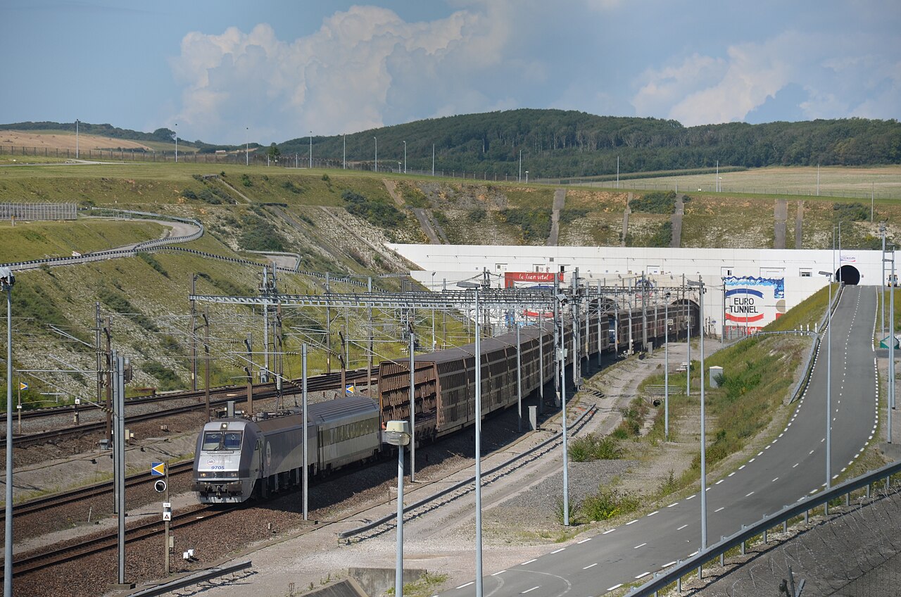
Britain also has to look beyond its coastline. Agreements with France, Belgium, Ireland and the Netherlands help limit cross-border signal interference, while separate arrangements cover the Channel Islands and the Isle of Man. The UK also contributes to the Space Frequency Coordination Group (SFCG) to coordinate the frequencies allocated to civil space use. International rules matter because satellite signals do not stop at national borders, and neither do many terrestrial telecommunications networks.
Satellites meet terrestrial networks
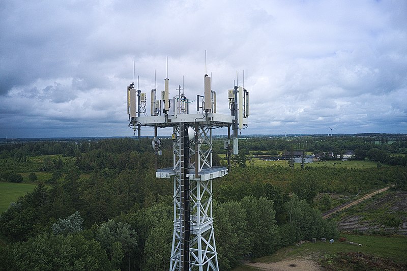
Ofcom expects satellites to take on more of the work involved in broadband and mobile coverage. Low Earth orbit systems can reach remote locations and provide backhaul for mobile networks. They can carry Internet of Things traffic too. Newer 5G standards are beginning to pull satellite and terrestrial telecommunications networks into much closer contact.
Direct-to-device services are making the old dividing line between space and mobile networks harder to see. The UK has enabled satellite signals to reach standard smartphones, which may reduce mobile blackspots. Virgin Media O2 has launched O2 Satellite, and VodafoneThree has announced a similar plan to enable this new tech. Ofcom research found more than 110,000 UK Starlink broadband customers, while other providers such as Amazon Leo (previously known as Project Kuiper) are preparing similar services.

Application of the radio spectrum to aviation and major events
The aviation industry needs protected spectrum for communication and navigation. The CAA manages three ranges covering Very High Frequency (VHF) communications, surveillance and primary radar. It works with military users while following international aviation regulations. A failed link could affect safety, so regulators rigorously test sharing arrangements before new equipment enters a network.
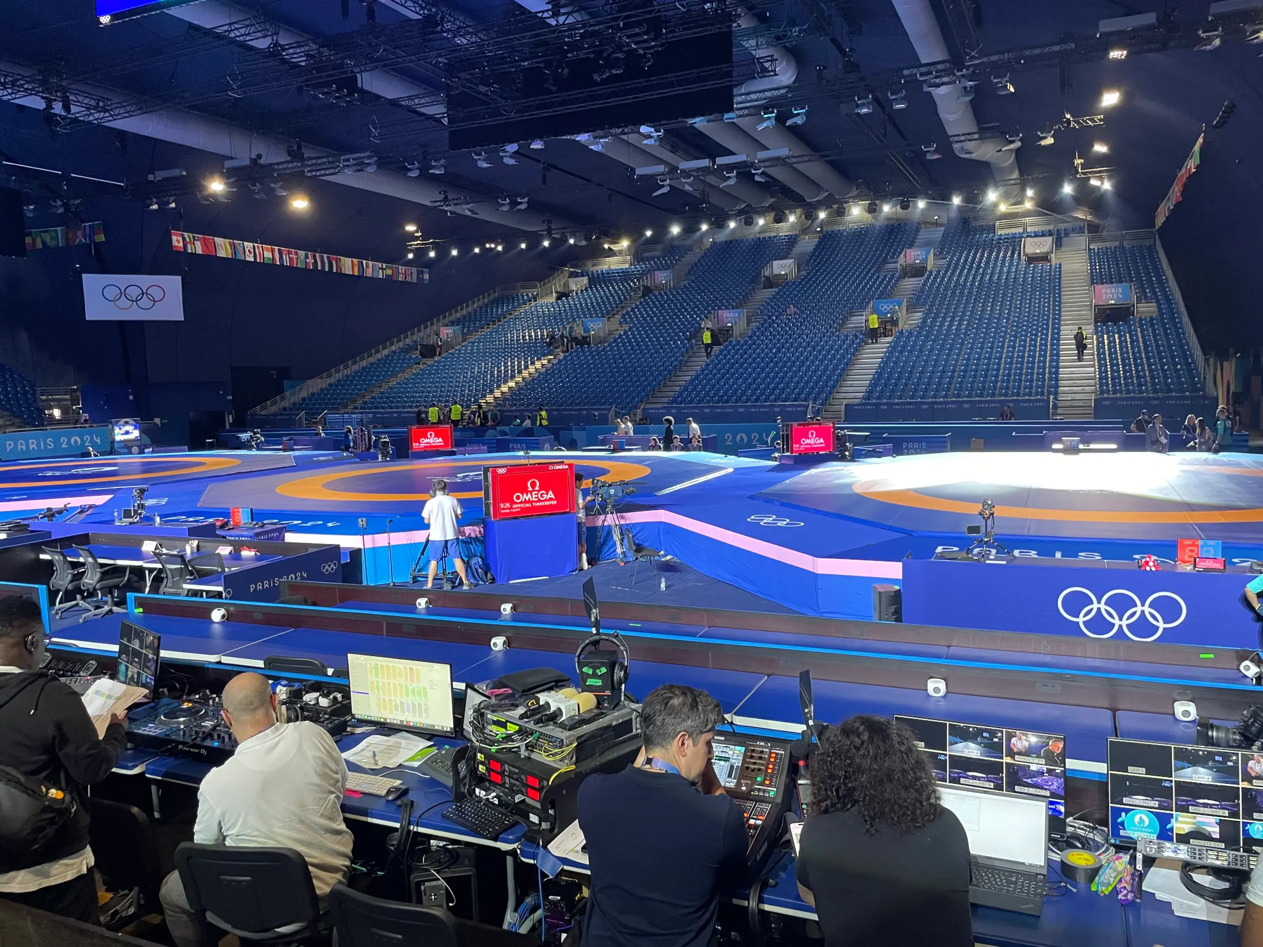
Major events create a different kind of pressure when network use surges. At the Paris 2024 Olympic and Paralympic Games, every wireless microphone and camera needed its own frequency, as did each in-ear monitor and walkie-talkie. Ofcom engineers helped the French regulator plan frequency allocation while testing and monitoring equipment on the network. They brought experience from Glastonbury and the Birmingham 2022 Commonwealth Games. Temporary demand can surge within a small area, so organisers need quick, flexible licensing. They also need close monitoring so they can adjust in time.
Weather services and renewable energy
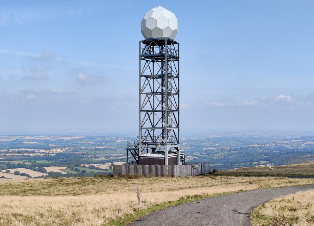
The Met Office relies on radio systems for the weather radar behind its forecasts. It also uses radiosondes and wind-profiling equipment. Aviation and civil contingency planning rely on those forecasts. Interference or physical obstructions can weaken the systems, so within safeguarded zones the Met Office reviews planning applications that could cause problems.
Wind turbines are a particular headache because they can affect weather radar. That puts the Met Office in a difficult position. It supports national renewable energy goals, but it also has to protect the equipment used to observe the weather and climate. The Met Office advises developers early and looks at the risks at each site. In most cases, that discussion allows a project to go ahead without damaging an essential weather service.
The problem is not confined to a single physical radar site. Passive Earth-observation sensors, which measure natural emissions, cannot transmit more strongly to overcome interference. When regulators open a neighbouring band, they have to think about the services already operating nearby.
Sharing more of the radio spectrum
Government policy now favours sharing and flexible access rather than permanent, exclusive allocations. Shared Access Licences already support local private networks in the 3.8–4.2 GHz band. Officials also want more automation and shorter licensing times, as long as technology can manage the signal interference.
Ofcom has enabled wider use of the Q/V band for high-capacity satellite gateways. The development allows links in parts of the 37.5–52.4 GHz range, mainly in areas with low population density. This covers most UK land, while major towns and cities have kept their previously allocated radio spectrum.
The next regulatory test
Policymakers now have to make more room in the radio spectrum without weakening the protection and priority already given to essential services. Government priorities include 5G and 6G, alongside the development of more advanced Wi-Fi. Non-terrestrial telecommunications networks and direct-to-device links are also on the horizon.
Regulators plan to look more closely at automation and dynamic access, and they are reviewing interference monitoring too. Other work will cover satellite broadband for ships and aircraft. It will also examine the future of the 2 GHz band and further gateway licences. The satellite internet provider Starlink has applied for two additional UK gateways in London and Essex to add capacity and network resilience.
Domestic licences do not stretch far when space is involved. Satellite signals and many terrestrial services cross borders, so some conflicts need to be handled internationally. The UK will continue working with the International Telecommunication Union (ITU) and European bodies. Specialist space groups will stay involved too, representing the interests of satellite communications and Earth observation. Those discussions will depend on accurate demand data. Any sharing rules must be specific enough to protect essential services and scientific work, while still leaving room for future expansion.
Should technology companies contribute more to interference monitoring and radio spectrum coordination? Let us know in the comments below.