British farmers are facing climate change, extreme weather, limited resources and rising demand for food. Space data is helping them respond by spotting risks sooner and putting countermeasures in place where they are needed. Earth observation in farming provides valuable insights into crop health and changing conditions, while environmental monitoring satellites help track threats across large areas. These technologies also support better crop rotations and more efficient scheduling, helping farmers improve productivity while advancing sustainable agriculture. Decisions made in individual fields can ultimately affect food supplies and costs, as well as the condition of the environment.
Farming Under Growing Pressure
In an ever-expanding population, sustainable agriculture must produce more without neglecting soil, water or wildlife. Farmers also contend with floods, drought, pests, disease and unstable weather. To monitor their production and track threats, traditional ground surveys cover small areas so cannot provide the same speed or reach as satellite observation.
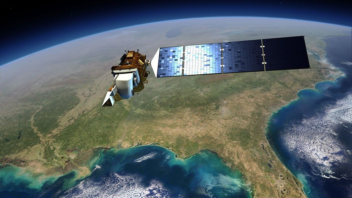
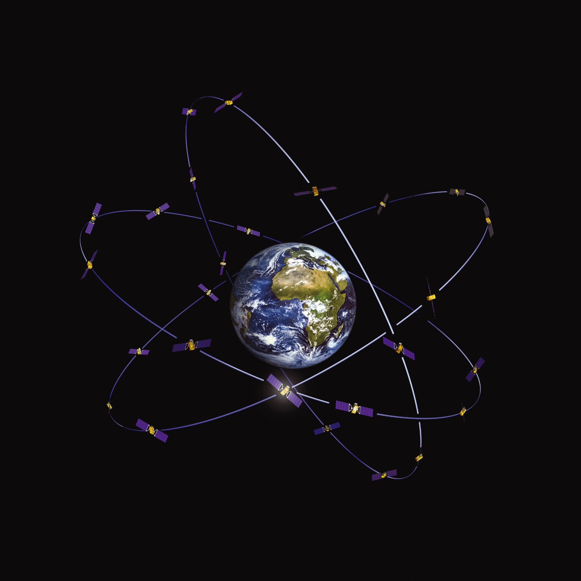

Satellites provide regular, long-term views over wide areas. Earth observation systems monitor crops and soil while also collecting information about water and the atmosphere. Global Navigation Satellite Systems (GNSS) supply workers and machinery with accurate positions during field work. Satellite links can provide farms experiencing weak mobile coverage with telephone and internet connectivity.
The COVID-19 pandemic showed the value of regular remote observation. Reliable data can help estimate production and match supply with demand. It can also support and regulate food supply chains. Space data and related tools are now becoming part of routine farm management.
What Space Data Can Tell Farmers
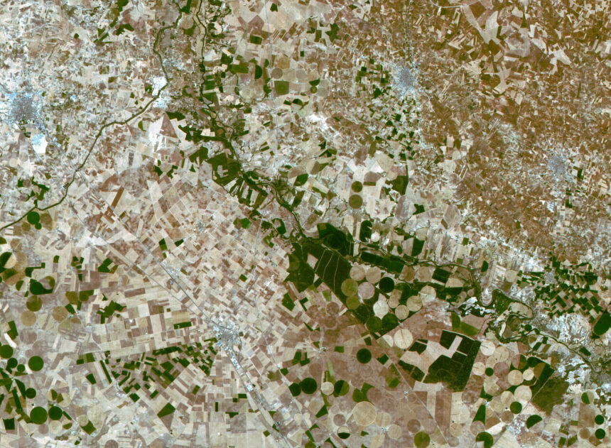
Earth observation satellites collect optical and radar data. These measurements can show crop greenness, chlorophyll, biomass, plant height and leaf area. Farmers and consultants can compare them with weather reports and soil data, and check what they see against conditions in the field.
That combined information can reveal moisture stress, poor growth, flooding or the risk of disease. Growers can also use it to estimate harvest dates and predict yields, as well as inform crop nutrition plans. Fertiliser and pesticides can be directed towards the parts of a field that need them, rather than applied evenly. Irrigation can be managed in the same way.
Radar works despite cloud obscuration. Optical images, by contrast, provide detail about colour and crop condition. Used together, the systems can survey larger areas more quickly and effectively than in situ field visits alone.
Better Decisions on Arable Farms
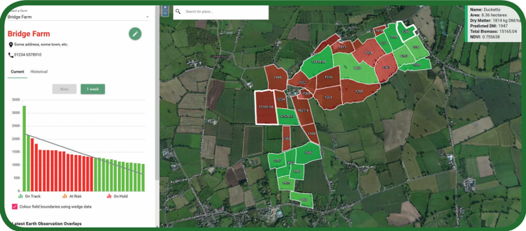
On arable farms, Earth observation images from the Sentinel-2 satellite let growers compare true-colour and near-infrared views. Healthier vegetation appears red in the near-infrared images, making uneven growth easier to see and allowing farmers to inspect and care for their fields in a more timely manner.
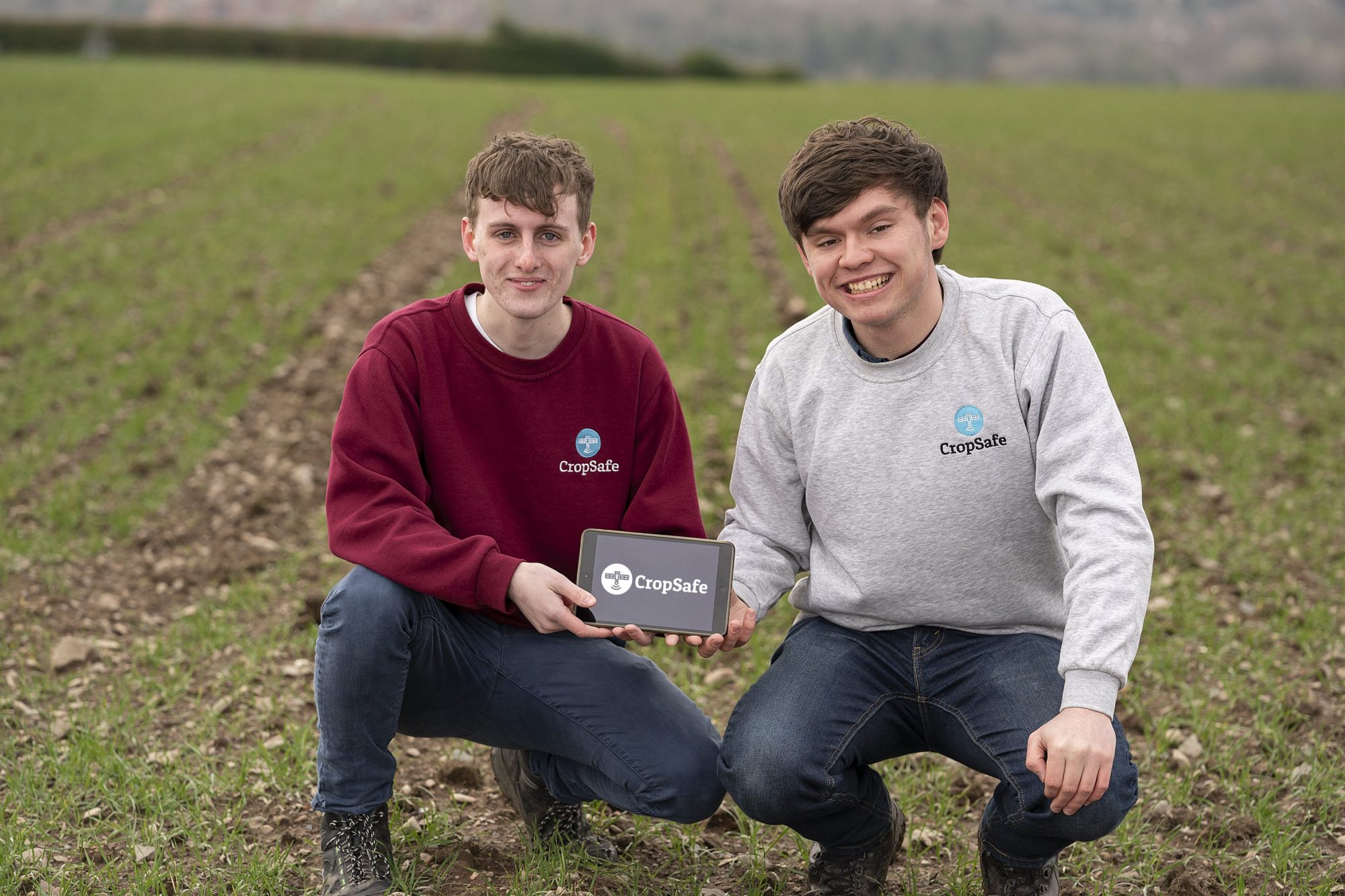
The CropSafe mobile app takes a similar approach. It combines satellite imagery with weather data and sends alerts about crop health and field conditions. Farmers can track risks from rain, fire, flooding, disease, soil temperature and pests. This gives them time to respond before a problem spreads or losses increase.
GeoCrop, backed by the UK Space Agency, also uses satellite imagery alongside weather information, and draws on supply chain data. The project examines how soil moisture and temperature affect crop success, while taking market timing into account. Farmers are involved in developing the service, ensuring it provides the most use to its customers. By helping growers use resources more efficiently, these services can make sustainable agriculture more practical at field level.
Space Data for Weather, Water and Catchment Management
Weather remains one of farming’s biggest risks. According to the Met Office, space data accounts for about three-quarters of existing forecast accuracy. Geostationary environmental monitoring satellites follow weather systems in real time, while polar-orbiting satellites collect detailed readings across the globe.
Those observations improve forecasts for rain, wind, temperature and storms. Farmers can then make better-timed decisions about crop spraying and irrigation. They can also plan harvesting and other work around expected conditions.
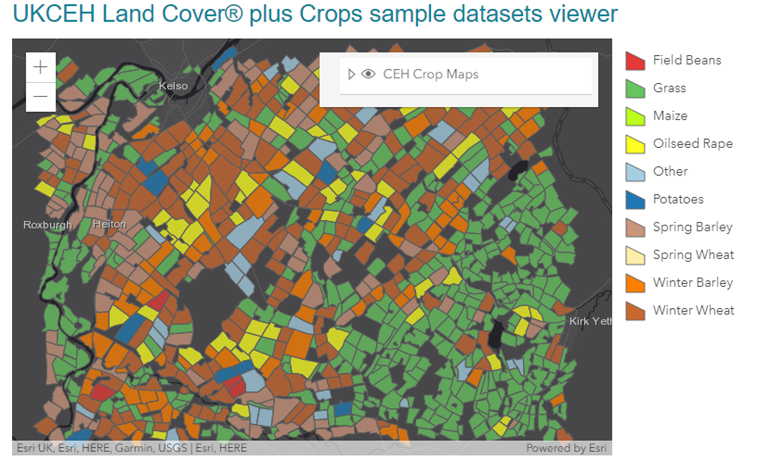
Space data is useful outside the farm too. Each year, the UK Centre for Ecology & Hydrology (UKCEH)’s Land Cover plus: Crops software maps around 2 million areas of land across Britain. It identifies major crop distribution and helps researchers model the movement of pesticides through catchments. Anglian Water has used the maps to plan for risks to drinking water.
Precision Machinery and Rural Connectivity
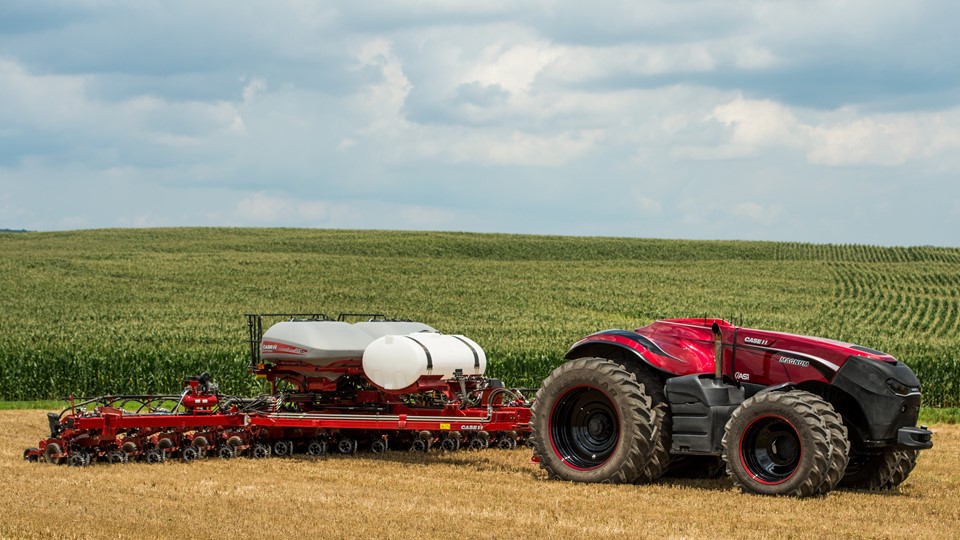
GNSS can guide farm machinery to within centimetres. Ordnance Survey’s OS Net uses about 120 base stations across Great Britain to provide correction data and ensure accurate positioning, reducing overlaps and waste of product during drilling and spraying. It can also prevent unnecessary fertiliser application, supporting the resource efficiency needed for sustainable agriculture. The same technology supports automated machinery and allows for more consistent field work.
These systems still depend on reliable connections. Satellite links can bring digital services to rural areas without 5G. They also allow sensors and drones to share information with worker robots and other farm equipment. Better connectivity gives farms and food supply chains quicker access to the data they need when making decisions.
Using Space Data to Map Nature and Environmental Results
Farmers are increasingly being asked to measure soil health, biodiversity, water flow and emissions. Space data can provide repeatable evidence over large areas. That evidence is relevant to policies that pay land managers for public goods, such as cleaner air, healthier soil and reduced flood risk, while holding them to account for their environmental impacts.
The Space Enabled Decarbonisation, Environmental and Regenerative Solutions (SEDERS) pilot demonstrates another use of Earth observation in farming and pairing satellite data with sensors in the field. Its measurements include soil carbon, wildlife habitat growth and the condition of the land. By checking satellite readings against measurements taken on farms, the project could offer a less expensive way to record environmental change.
National crop maps also show public bodies and businesses how crop rotations and planting patterns are changing. Information gathered by environmental monitoring satellites also can aid disease control and wildlife protection. It may also help reduce pollution and increase carbon capture, both important goals for sustainable agriculture.
Building a UK Space-Farming Network
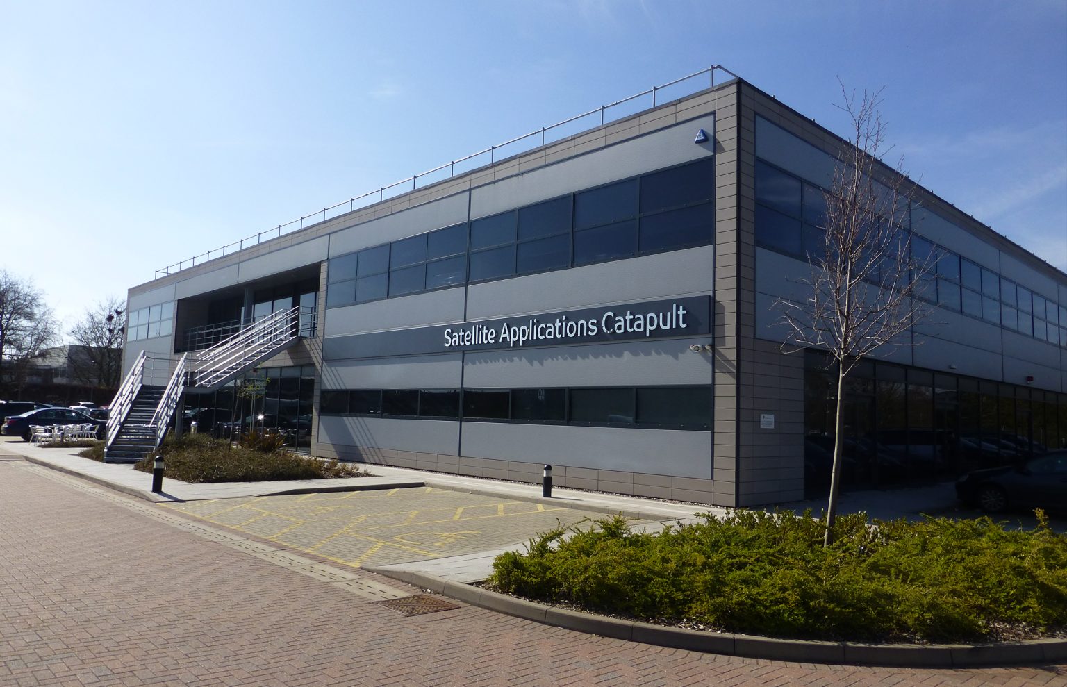
The UK already has organisations working on satellite-enabled farming across the public and private sectors. Harwell’s Satellite Applications Catapult brings together expertise in imagery, software, cartography and machine learning to develop mapping services for practical use.
The Agri Living Lab is a joint venture between the Catapult and Harper Adams University. Sites in Buckinghamshire and Shropshire will be used to test products and train agricultural staff. Companies can try out tools on working farms before introducing them more widely.
The Department for Environment, Food and Rural Affairs (Defra) and Innovate UK awarded seven British businesses a share of £560,000 in early 2026. The funding supports projects using space technology and artificial intelligence. These include farm simulations for soil management, and the use of environmental monitoring satellites to track biodiversity. The programme also provides low-risk expert support as firms develop products for commercial use.
Access, Skills and the Next Phase
Future satellite missions should provide sharper images and insights more frequently. Farmers may also gain quicker access to the resulting data. Processing carried out onboard satellites could improve services that farms use in real time. More capable environmental monitoring satellites should improve forecasts and climate monitoring.
Cost and usability remain barriers. Farmers need affordable services and dependable rural connections. The tools they use must also fit their usual working routines. Data providers need to explain results clearly, since raw data is of little use without practical advice. Training and common standards will grow in importance alongside the satellites themselves.
Long-term success depends partly on open access and international cooperation. Sustainable activity in space will matter too, as orbital debris and unequal access to technology could otherwise restrict the benefits. UK projects are bringing space data together with farmers’ knowledge, and field sensors and surveys on the ground. On farms, that combination can support sustainable agriculture by helping farmers maintain production, manage risk and protect the environment.
Could space data transform the future of farming? Let us know in the comments below.